Lake Como: The best hiking trails for your holidays!
Lake Como, with its elegant shores, numerous swimming opportunities, and stunning Alpine landscapes, is a true paradise for nature lovers and hikers. Set off on hikes with your four-legged friend through the northern Italian mountain landscape high above the lake or explore the idyllic shoreline on foot.
Table of contents
Lake Como - 8 special hiking trails
Wayfarer's Path
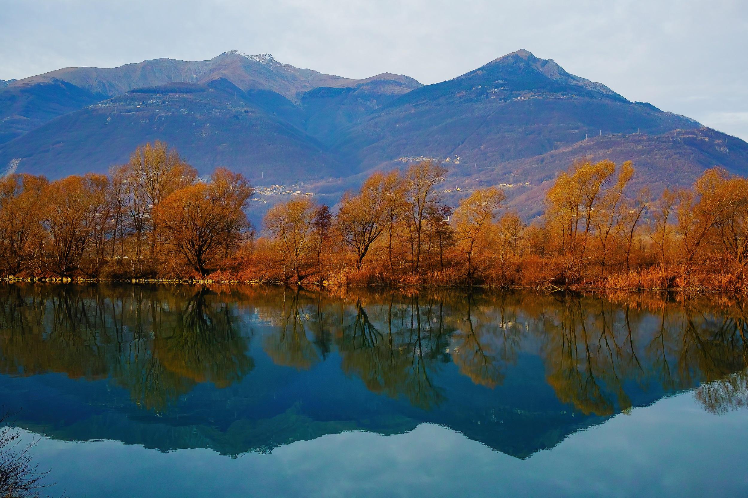
On the Sentiero del Viandante - the Way of the Wanderer - you embark on a multi-day tour of approximately 68 kilometers along the eastern side of Lake Como. You partially follow the historical mule tracks of the former route from Milan to Valtellina. The narrow mountain paths served as mule trails. The Sentiero del Viandante starts at the southern shore in Abbadia Lariana. From there, it goes along historical paths, sometimes along the shore and sometimes a bit away through Italian villages, until reaching Morbegno near the northern shore of Lake Como. Plan for about six daily stages for the complete tour.
Cainallo - Northern Grigna - Piancaformia Summit
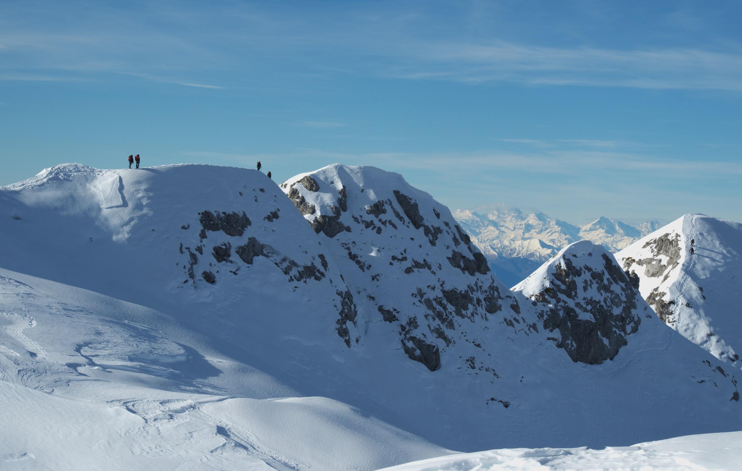
One of the most challenging and at the same time most popular routes starts in Cainallo and takes you through the untouched nature of the mountains. The route is a total of 10 km long. Due to the more than 1,000 meters of elevation gain, more experienced hikers take between five and six hours, with small breaks recommended. During the short stops, you can enjoy the breathtaking mountain panorama. The highest point is at 2,410 m, so you can still hope for snow during the transitional periods. Accordingly, summer between June and August is considered the ideal season for the hike. The climate is pleasantly mild then.
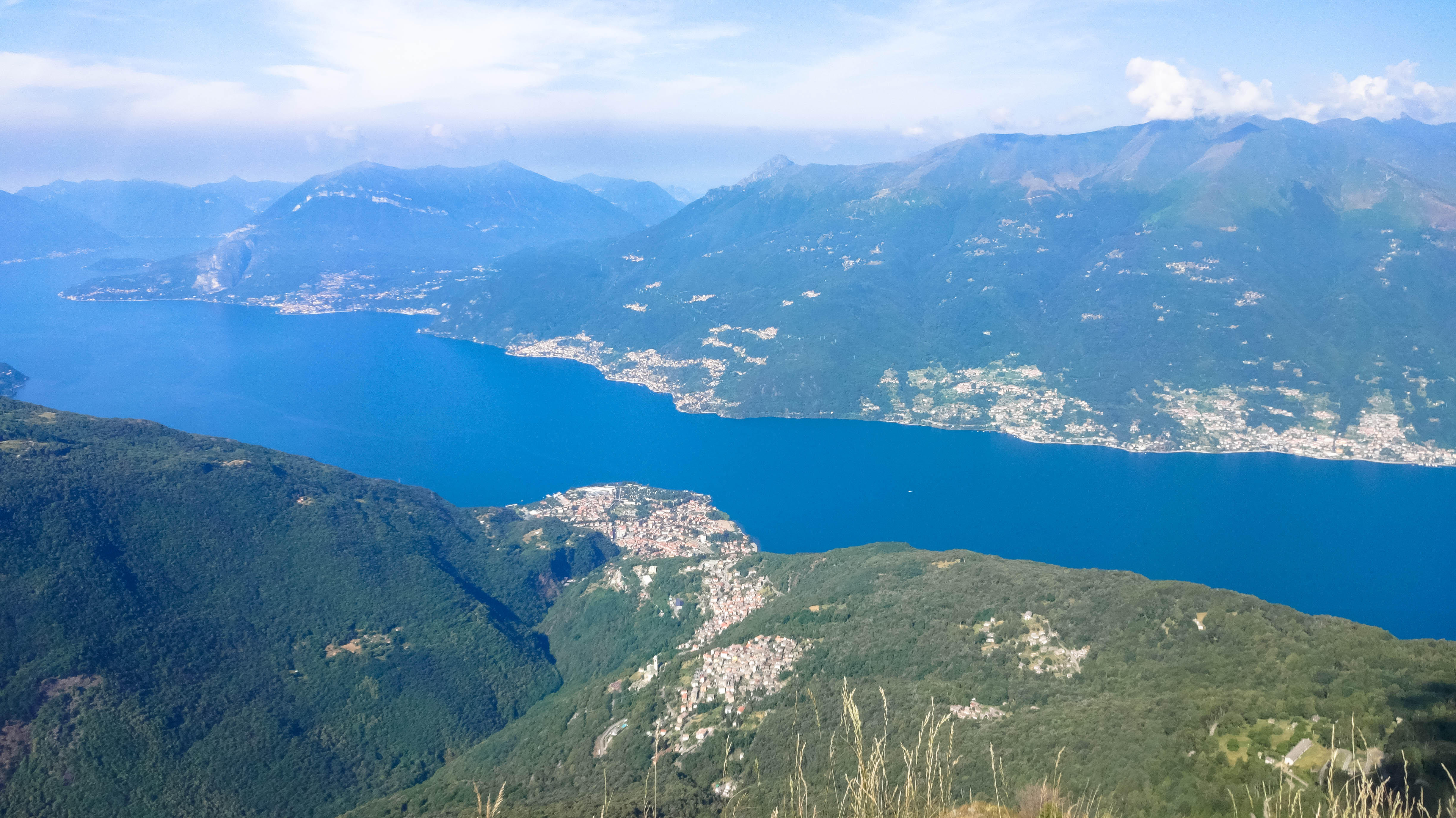
Hike from Sueglio to Monte Legnoncino
The town hall of Sueglio on the eastern shore of Lake Como is a perfect starting point for a hike to Monte Legnoncino. There are old coach routes to cross on the way to Loco Tocco. Then it goes through a forest to the enchanting Artesso Lake. A rest area offers a place for a break. From the lake, you continue to the artillery positions of Artesso. Information boards explain their history. Now you pass the Menaggio shelter and soon reach the Sella del Legnone with a small pond. A wide, serpentine path leads further to Monte Legnoncino.

Colle Balisio - Riva Bivouac - Mount Grignogne
The high-altitude route is located 5 km east of Lake Como and is almost 12 km long. Overall, you will need between seven and eight hours for the tour, as you have to overcome more than 1,500 meters of elevation. However, you will be rewarded for your efforts with panoramic views and numerous natural highlights. For your hike, the summer months or the mild transitional periods are recommended, although you must still expect snow in the high altitudes even in spring and autumn. You follow the well-signposted route, passing steep mountain slopes, walking above the clouds, and enjoying the well-deserved peace in nature.
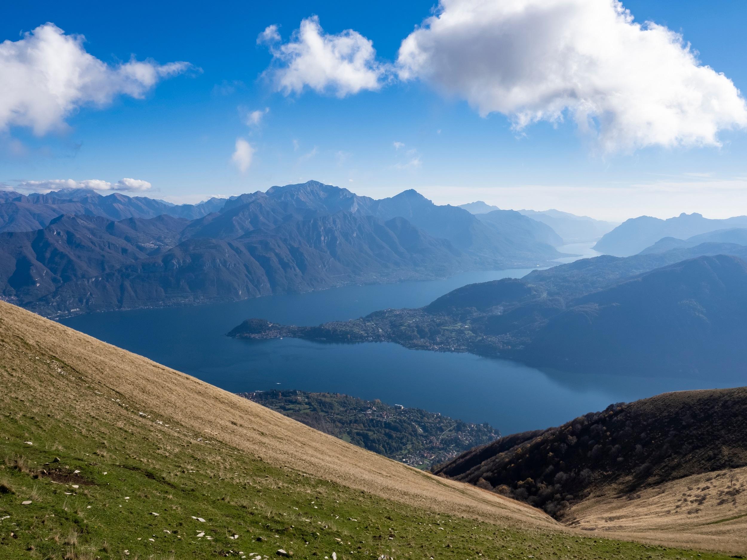
Hiking tour Monte Crocione and Monte di Tremezzo
The 14-kilometer hiking route is estimated to take seven hours. You will be rewarded on this partially steep tour with panoramic views of Lake Como. Since there are no refreshment options, you should bring enough food and drink. Your hiking gear should be suitable for alpine terrain. The starting point is the monastery parking lot. From here, follow the Strada dell'Alpe to Narro. After a long forest stretch, it goes over the Monte Crocione east ridge to Monte di Tremezzo. The return path follows over the Alpe di Mezzegra along the southern ridge back to Narro.

High and Low Crossing of the Grigne
The Alta Via delle Grigne is located east of Lake Como and is a true paradise for nature lovers, especially in the summer months. One of the most challenging routes starts at the Dal Cermenati parking lot and then leads almost 19 kilometers through the mountain world, so you are on the road for a good 10 hours. You cover more than 1,600 meters in altitude, walk over unpaved terrain, and are repeatedly rewarded with breathtaking panoramic views of the region. Picturesque mountain lakes invite you to swim and refresh before you continue the hike and pass the Rifugio Brioschi and other highlights along the way.
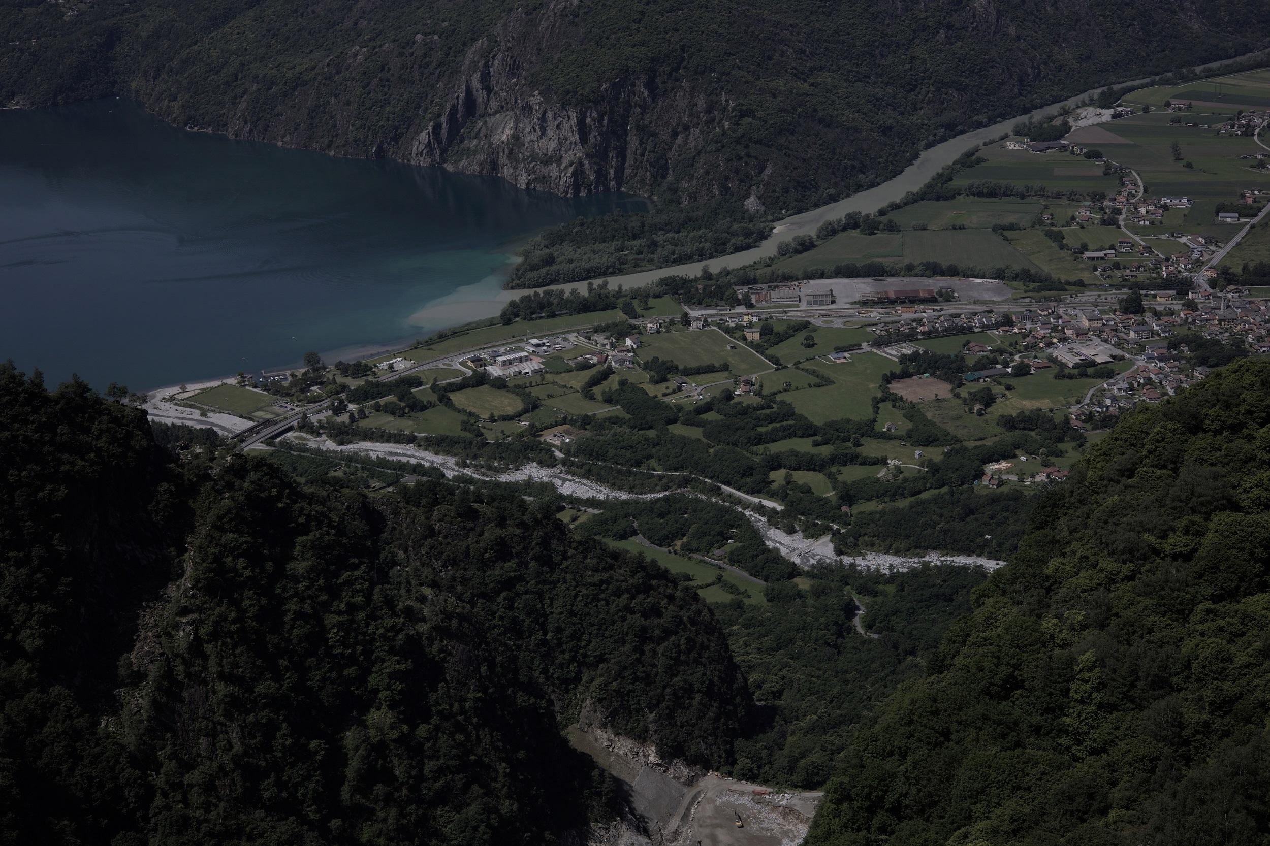
Tracciolino Trail
The narrow-gauge track of the Alto Lario, as the northern part of Lake Como is called, connects the dams of Val Codera and Val dei Ratti. Today, the Sentiero del Tracciolino passes here, which is considered one of the most beautiful and popular hiking trails in northern Italy. Although the Tracciolino path was created by human hands, it blends perfectly into nature. Passages carved into the rock give way to dark tunnels and sections that offer views of Lake Como and the surrounding mountains. The village of San Giorgio, located halfway, is worth a detour.
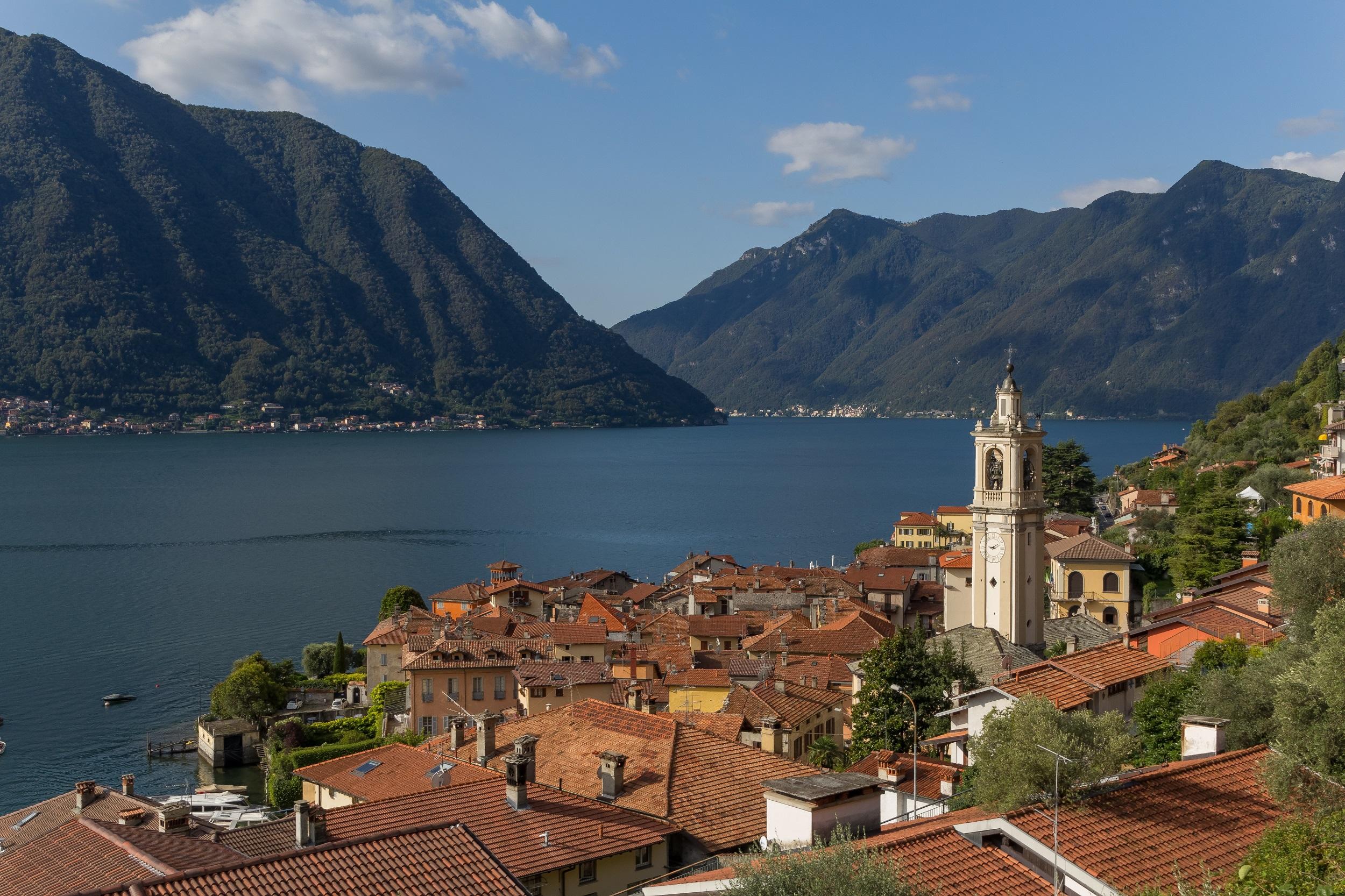
Greenway of Lake Como
The popular hiking trail Greenway del Lago di Como runs for about 10.5 kilometers from Colonno to Cadenabbia along Lake Como. The path is quite easy and does not involve strenuous climbs. It partly runs along the beautiful lakeshore and partly through picturesque towns in the region. The route offers plenty of variety, including a skillful mix of natural idyll and picturesque small towns like Mezzegra, which boast charming alleys and many historical highlights. However, a central theme of the hike is, of course, the beautiful Lake Como with its magical blend of lake and mountain nature.
